Consent first
Farmers control whether observations join the broader intelligence layer.
Soil intelligence
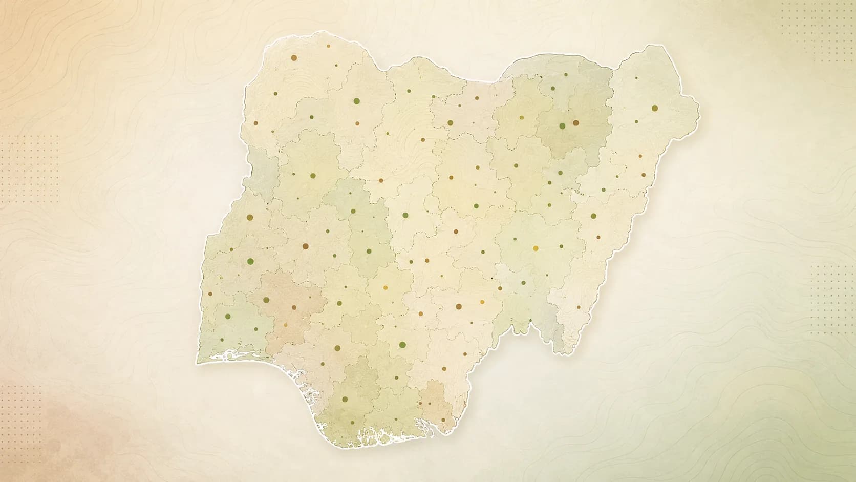
With farmer consent, GeoPonix builds plot-level soil and land records that power better decisions for farms and institutions.
Principles
Farmers control whether observations join the broader intelligence layer.
Data is captured at farm scale, where decisions actually happen.
Soil truth is paired with slope and rainfall context.
Maps, soil cards, risk indicators, and program dashboards.
Pipeline
01
Geo-tagged soil readings with crop and season context.
02
Calibration pathways and land-risk indicators that build trust.
03
Insight for government, lenders, research, and development partners.
Who uses it
Over time, consented and quality-controlled soil data can support public programs, research, and commercial planning.
Farm records, local data, and large scale planning and documentation.
A growing local soil and microclimate dataset for African conditions.
Business intelligence and capital risk indicators for fairer credit and micro finance.
Collaborate
For government, research, lenders, and programs that need plot-level data, not coarse regional assumptions.